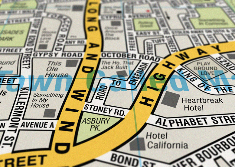
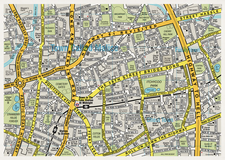
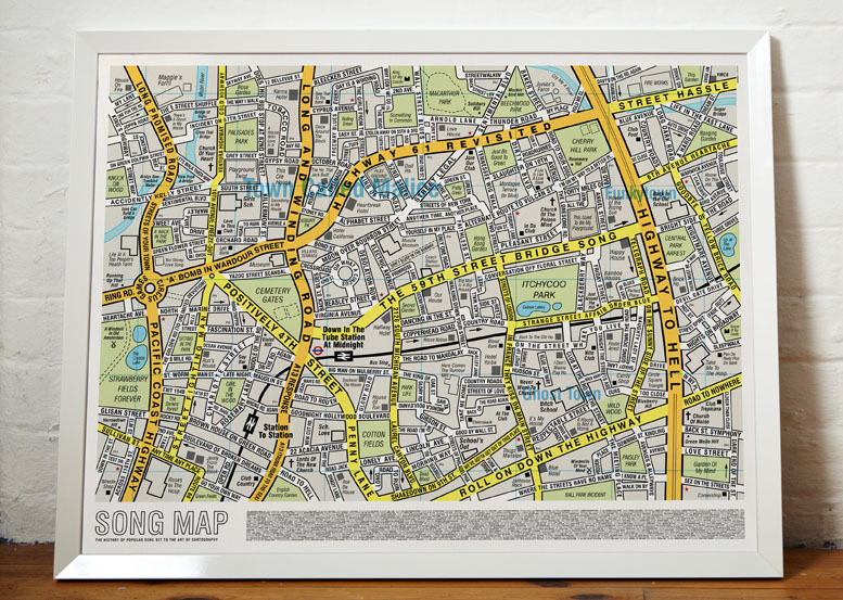
Where We Take Photos In Minnesota

Where Minnesotans and tourists take picture in Minnesota. This map is courtesy of Flickr, who mashed together their inventory of geotagged photos by users who live in Minnesota and those who do not. The Blue lines represent photos taken by us Minnesotans and the red lines represent the foreigners’ photos. The concentrations of tourists photos are mainly at the airport and at Mall Of America.

Locals and Tourists #25 (GTWA #67): Minneapolis

Minnesota Best Place When Climate Change Wreaks Havoc Upon Us All

On Wednesday, I noted Minnesota’s not-so-encouraging demographic destiny but today I bring you good news: When climate change slowly does us all in, we Minnesotans will be sitting on the real estate least susceptible to its ravages. Of course, we’ll probably have to raise an army to defend ourselves against everyone else who wants to move in. But hey, we’ve got time.

This map shows local vulnerability of human populations to climate change based on ecological and demographic models is depicted by regions in red which are expected to be most negatively affected by climate change. White regions correspond to human density values of zero in the global population database. Read all about it at Futurity.

Climate Change Global Map

Fixed-Income Minnesota

Wanna see something scary? The Atlantic created an interactive map that displays how median income has changed during the past 30 years, by county.

This is what Minnesota looks like with regard to Empty Nesters, an older and less diverse population than average, with plenty of retirees on fixed incomes. That means they don’t spend a whole lot and they account for a huge percentage of health care costs. Demographics is destiny:

Fixed Income Minnesota Map